
Time: 8:00 AM - 10:00 PM
The Pisgah 555 will test the strength and endurance of racers by challenging them to complete a 39.7 mile course with 7325′ of climbing and is nearly 100% Pisgah single-track. The course traverses some of the great Pisgah classics: Black Mountain, Turkey Pen Gap, Laurel Mountain, and Pilot Rock.
The Pisgah 555 is open to cyclists AND runners.
There will be THREE rest areas along the way that will be stocked with water, food (PB&J, fruit, salty snacks, sweet snacks, bars), and first aid. Racers may send drop bags to each Rest Area.
Course:
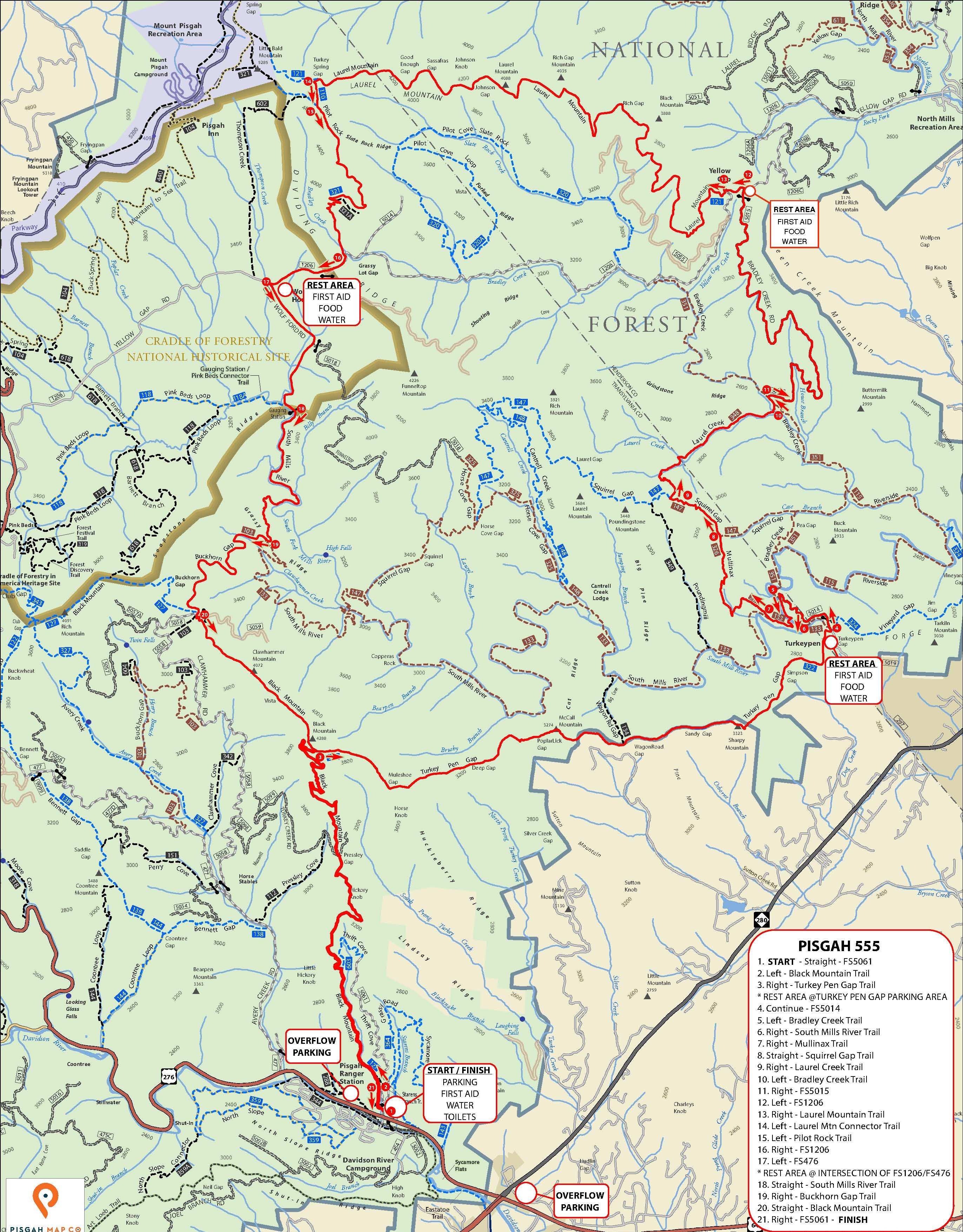

Downloads of the course map and .gpx track are available at the bottom of this page.
RIDEWITHGPS.COM link:
Schedule of Events:
Friday – 5PM-10PM – SIGN-IN OPEN.
Saturday – 5:30AM-7:30AM -SIGN-IN OPEN.
Saturday – 7:45AM – Mandatory Racer Meeting.
Saturday – 8AM – Race Start.
Saturday – 3PM – Awards.
Saturday 10PM – Race Final Cutoff
(OVERALL AWARDS for Men and Women will be presented as soon as possible after third place finishes.)
Rules:
1. Have Fun!
2. Cyclists must wear an approved cycling helmet at all times while on the bike.
3. Racers may receive support from other participating racers while on course.
4. Racers may NOT receive outside support while on course.
5. Racers must stay in single-file except to pass.
6. Racers must obey all local traffic laws.
7. Electric-Assist bikes (E-Bikes) are prohibited.
8. Racers must use a front light (250 lumen minimum) after 7:00PM.
9. The Race Director reserves the right to disqualify any racer for any reason.
Venue:
SIGN IN and START/FINISH will be directly across US276 from:Davidson River Campground
1 Davidson River Circle
Pisgah Forest, NC 28768.
PARKING:
Pisgah Ranger Station
1600 Pisgah Highway (US276)
Pisgah Forest, NC 28768
There is NO PARKING at the Start/Finish area. Please park at the Pisgah Ranger Station. There are also numerous OTHER parking lots in the area especially near the intersection of NC280 and US276.
Be aware of posted no parking areas. Please be resourceful and respectful.
Directions:
From Asheville, North Carolina, take I-40 West to I-26 East to Exit 40 (Airport Road/Asheville Regional Airport), onto State Highway 280. Continue south 15.5 miles on 280 to Pisgah National Forest. Turn right at the intersection of Highway 280/64/276. Go north on 276 for 1 mile. Follow signs to Davidson River campground.
From Spartanburg, South Carolina, take I-26 West to Exit 40 (Airport Road/Asheville Regional Airport), onto State Highway 280. Continue south 15.5 miles on 280 to Pisgah National Forest. Turn right at the intersection of Highway 280/64/276. Go north on 276 for 1 mile. Follow signs to Davidson River campground.
From Charlotte, North Carolina, take I-85 South to Gastonia and exit at U.S. Highway 74 West. Merge with I-26 West to Exit 40 (Airport Road/Asheville Regional Airport), onto State Highway 280. Continue south 15.5 miles on 280 to Pisgah National Forest. Turn right at the intersection of Highway 280/64/276. Go north on 276 for 1 mile. Follow signs to Davidson River campground.
Other:
LODGING:
Davidson River Campground
Pisgah Forest RV
The Sunset Motel
Hampton Inn Brevard
Holiday Inn Express Brevard
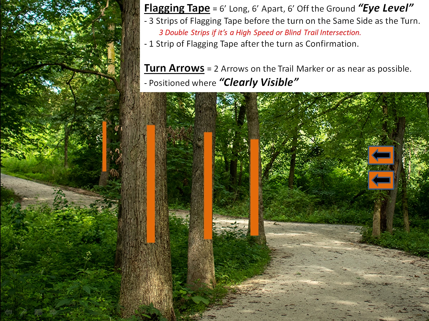
COURSE MARKING:
NUMBER PLATES:
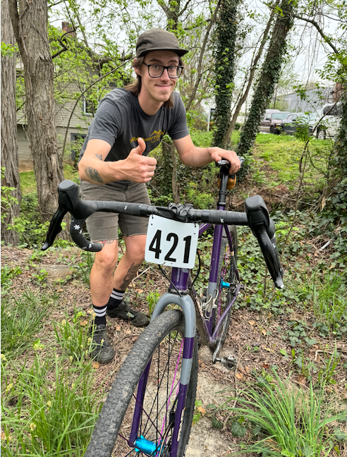
Please mount your number plate to your handlebars and in FRONT of your cables. The timing crew must be able to see your entire number plate as you cross the finish line. Your number plate has a RFID timing chip on the back. If your number plate is not displayed correctly your FINISH TIME WILL NOT BE RECORDED. If you lose or damage your timing chip please tell the timing crew your number when you finish.
REQUIRED GEAR:
1. Mobile phone.
2. Light source (250 lumen minimum).
3. Rain jacket.
REST AREAS:
1. Turkey Pen Parking Area – 13.5mi.
2. FS 1206 at Yellow Gap – 22.1mi.
3. FS1206 at FS476 – 28.3mi.
Rest areas will be well stocked with water, snacks, first aid, and other neutral support
DROP BAGS:
Drop-bags may be sent to each rest area. Please limit the size of your drop bag to a one gallon zip lock bag per rest area (approximately two large water bottles). There will be plenty of fresh water at the rest areas. Please do not send water in drop bags. Please be aware that drop bags will return to the start/finish very late on Saturday evening.
SAFETY:
All roads and trails used in the Pisgah 111 will be OPEN to public use. Please use common sense. Stay to the right. Do not cut corners. Pass with care. Ride single file. In case of emergency call 911.
OTHER TRAIL USERS:
Please be kind to other trail users. If you encounter:
1. Hikers: Yield.
2. Other riders: Downhill riders yield to uphill riders.
3. Horses: STOP! DISMOUNT! Ask the equestrian for further instructions.
PERMITTING:
This event is under special use permit with the U.S. Forest Service.
REFUNDS:
Sorry, No refunds.
Route Downloads:
Pisgah 555 -- Map and cue sheet
GPS Downloads:
Sponsors:















Sponsors:
 2023 Pisgah 111 / 555 photos
 2021 Pisgah 555 photos
 2019 Pisgah 55.5 photos
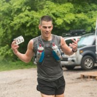 2018 Pisgah 55.5+++ – Photos
 2017 Pisgah 55.5K photos
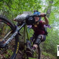 2016 Pisgah 55.5k photos
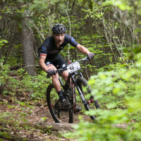 2015 Pisgah 55.5K photos (Icon Media Asheville)
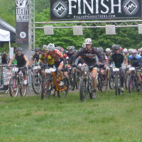 2014 Pisgah 55.5 photos
 2013 Pisgah 55.5K photos